Getting emergency services where they are needed as soon as possible. That is the aim of Critical Routing, one of the products that the Aldebaran startup presented at the Smart City World Congress (SCEWC). This startup offers a type of GPS for the emergency services, a Google Maps that shows all the obstacles that an ambulance, fire engine or police car might face on the way to an incident.
Aldebaran, one of the startups working with Barcelona Activa and taking part in the congress on smart cities, with Critical Routing aims to improve the time it takes the emergency services to arrive where they are needed to save lives. "It is like Google Maps for large vehicles, such as lorries or ambulances, and shows the obstacles in streets, whether trees, narrow roads, gardens, bollards, etc.," a company spokesman says. Bearing in mind all of these factors and specific aspects, such as the fact that these special vehicles can skip traffic lights or go the wrong way down a one-way street, the tool works out the best route.
Critical Routing finds the best route for the emergency services bearing mind the obstacles in the way and that they can skip traffic rules
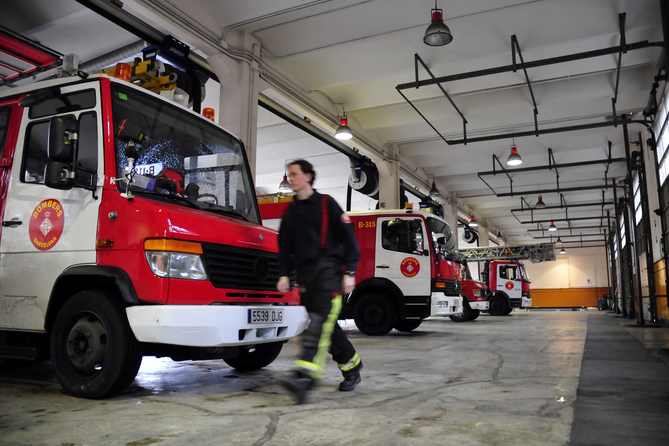
Barcelona firefighters already use Critical Routing and "we are now working on other cities adopting the service," says Aldebaran. In order to gather all of the information, the Aldebaran team manually survey the terrain to log all of the possible obstacles that the emergency service might come up against on their route. Once gathered the information is updated on the platform’s database.
The other tool that this startup from Manresa presented at this year’s SCEWC is Intertrafic, this application "already works on the Barcelona City Council website and shows all blockages in traffic circulation in the city, it provides information on sporting events, road works, streets cut for removals, etc." In short it is an expert system that manages uses of the public thoroughfares that might affect the circulation of traffic. Using ETL technology, it allows georeferencing of the permits for using public spaces on the local road map. Thus the public is informed beforehand, improving the planning of journeys and avoids "getting trapped".
All of this is shown on the map when the council passes the information to the startup and they put in the traffic forecasts.
From Manresa with IT
Aldebaran IT Projects and Services is a company that specialises in "offering technological solutions and services related to positioning, territorial management, safety and emergencies, transport and smart cities," they say.
Aldebaran employs five people and has a turnover of roughly 200,000 euros
The company was set up three years ago in Castellbell i el Vilar for engineering and cartography projects. Over time it has evolved towards offering "highly innovative solutions, using geoinformation, which provides added value to our clients." Manager Francesc Simón, who studied IT, left his previous job to launch the startup. Today, Aldebaran employs five people, has a turnover of roughly 200,000 euros and has offices in the Vallcarca neighbourhood of Barcelona.
The startup is currently working on taking its products to other Spanish cities, such as Madrid, Sevilla and Valencia. "Large cities that might be interested in the product and there are already some who like the look of it," they say.
Yet the aim of Crítical Routing is not only for public services to use the tool, but for private companies to take advantage of these types of services, such as the ambulances or security, so that they too can have access to this emergency GPS.